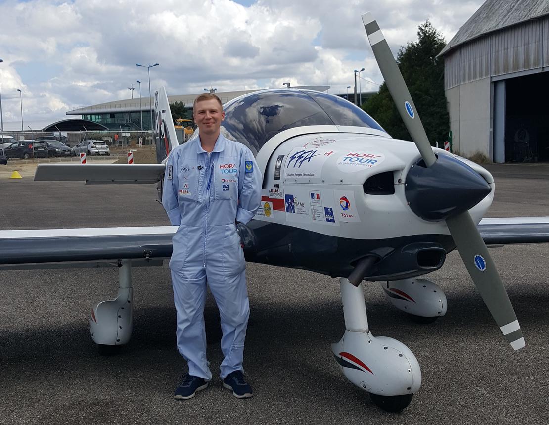
Training Flight - Part 2
- July 13, 2018
This is the final training flight before the HOP Tour. This session will be an introduction to rally flying, focusing on precise adherence to both trajectory and timing. Additionally, it’s crucial to carefully observe the landscape to locate and identify photographs provided prior to the flight. Easier to say than to do!
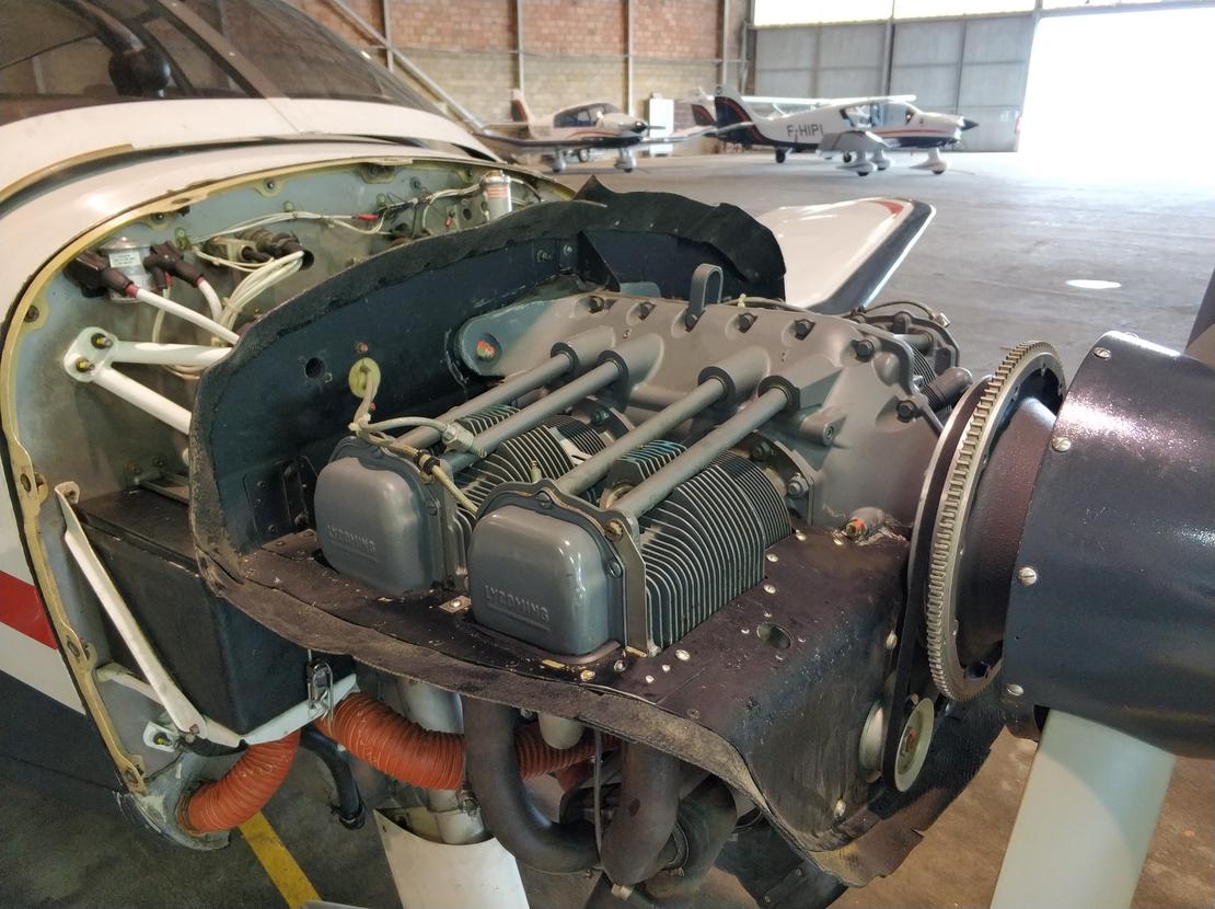
The weather conditions are excellent, aside from some turbulence due to the heat. We conducted a pre-flight check and boarded the aircraft. Emma, an engineering student at ESTACA who is doing a mechanical internship with ACRIV, also joined us as a passenger. After starting the engine and transmitting our intentions via radio to the tower, we proceeded to holding point D10. The engine tests were successful, so we took off towards point E, marking the start of the aerial rally.
To aid in navigation, I’m using a 1:200,000 scale road map. The route is also marked on an aeronautical chart, which is the only authorized document. The turbulence makes maintaining altitude and heading slightly more challenging. I need to be sure to properly set my course corrector; even a small deviation of a few degrees can throw us off course.
Once the rally is complete, I’m returning to Rennes using the VOR (VHF Omnidirectional Radio Range). You need to rotate the VOR’s bearing indicator until the needle points vertically and indicates “TO.” Then, simply follow the needle. Upon reaching the point directly above the runway, my instructor, Michel, reduced power to initiate a glide landing exercise – simulating an engine failure.
The goal is to achieve the aircraft’s maximum gliding speed (the speed at which it glides the furthest) and move away from the runway, neither too far nor too close, aiming for the 2 alpha angle (half the distance of the glide). We then converge towards the runway at approximately a 30-degree angle to maintain this angle. When we reach a 45-degree angle relative to the runway entrance, we turn to align with the centerline. At that point, we deploy flaps as needed, based on our estimated landing point.
If everything goes well, we’ll land on the runway! The main difficulty of this exercise is coordinating altitude and distance from the runway, because in a real engine failure scenario, you might end up landing before or after the intended touchdown point – potentially in the grass or among the trees!
")
Summary of Training Flights for the HOP Tour
With these 3 hours of flight time, I’ve been able to refine my piloting techniques with my instructors. In total, I now have over 17 hours on this type of aircraft. I feel confident that I can approach the challenges of the tour with a sense of calm.