Rally Flying
- April 16, 2018
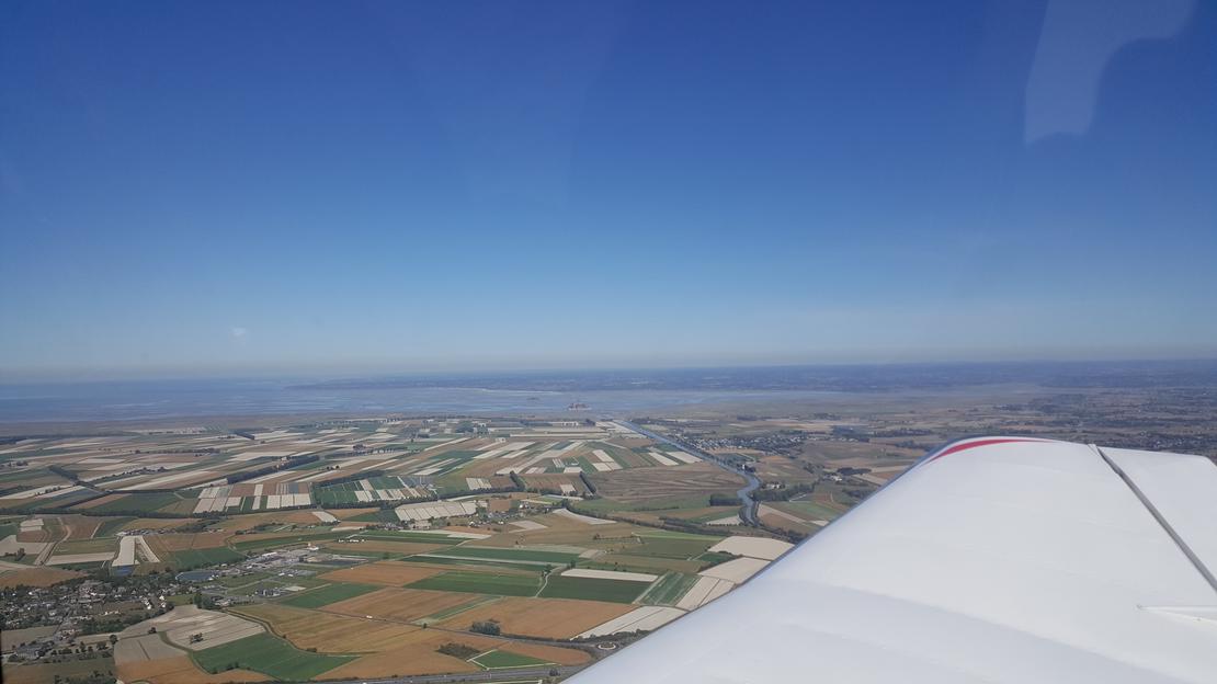
Today, I performed a navigation exercise similar to a rally flying. This involves precisely following a course and identifying landmarks such as road intersections and villages. The route lasts approximately forty minutes. The chosen altitude is 1700 feet. There’s a light wind at 210° for 15 knots (28 km/h), so I calculate the necessary drift and time corrections.


After fueling up and completing the pre-flight inspection, I settled into the cockpit. I ran through the checklist: engine start, which came to life with a steady hum. I taxi to Bravo 28 for engine tests. I transmit a radio message to the tower, announcing my readiness for departure, and take off heading towards point NW. I perform a climbing turn to the right to align with the 240° course. Landmarks appear every 2 to 5 minutes. It’s essential to remain focused and “ahead of the aircraft” (avoiding letting the workload become overwhelming). Next, I execute a “mania” sequence: maintaining level flight for one minute, then performing 360° turns left and right, followed by another minute of level flight, a 1000-foot climb over two minutes, and returning to level flight for one minute. Finally, I return to the airport. The tower authorizes me for a long approach on runway 32, as a commercial airliner is already in final approach on runway 28.


Flight Debrief
Despite moderate turbulence, my course holding was better than on the previous flight. The 360° turns were a bit fast. Next time, I’ll use a shallower bank angle.