My tips for the TAJP - Part 1
- July 27, 2019
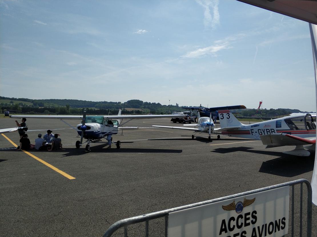
Did you enjoy my stories from the HOP! Tour 2018? So here are my tips for tourists — so you can become one too! We’re starting this new series with air navigation.
Tip #1: The flight manual
I recommend reviewing the flight manual to refresh your memory of the different characteristics of your aircraft. Pay particular attention to the normal procedures, emergency procedures, and, of course, fuel and oil consumption rates.
Tip #2: Navigation preparation

Navigation preparation is a crucial element for success in the selection tests, so you should practice using the TAJP navigation log, which contains all the necessary elements. The preparation should take less than an hour. I use a laminated map and felt-tip pens for plotting. This prevents your plotted course from disappearing due to sweat during the flight!
My technique for success was to create a mental checklist, simple and quick. Here it is:
- Plot the route on the map.
- Enter the names and numbers of the turning points.
- Transfer all distances and calculate the total distance.
- Transfer all headings.
- Calculate the safety altitudes.
- Calculate the time between each leg and the total time.
- Transfer the VOR and ADF radials (if available).
- Write the radio frequencies, transponder codes, altitude changes, and other useful information in the notes section.
Next, calculate the fuel consumption (these are indicative values for a 120hp DR400; always use the values from the flight manual!):
- Add the effect of the wind to the total flight time.
- Add 10 minutes for each takeoff/landing at an airfield.
- Calculate the amount of fuel using the hourly consumption rate of 25 liters.
- Add 1 liter for taxiing at each airfield.
- And don’t forget the 30-minute reserve fuel!
Finally, complete your log by writing down the departure and arrival procedures, which may be specific during the TAJP, the alternate airport, and information about the airfields.
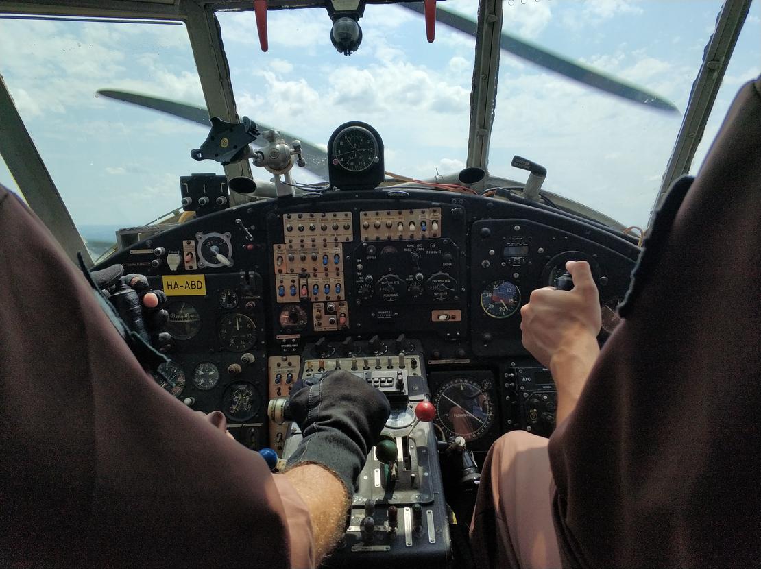
Tip #3: Piloting
Maintaining strict altitude and heading parameters will increase the accuracy of navigation while reducing fatigue on long flights. To achieve this, there’s no secret: you need to practice! Here are my tips for a successful training program:
- Properly trim your aircraft when transitioning to cruise mode. The best technique is to release your hand from the control stick to see if the aircraft climbs or descends. If the aircraft remains at a constant altitude, the trim is correct!
- Maintaining your heading within a few degrees may seem impossible, but it’s not. Once you have your heading, simply fix your gaze on a point in the distance (a house, a forest… but not clouds!) and steer towards it.
- The technique above works for relatively short distances (about ten nautical miles). For longer distances, the aeronautical chart allows you to estimate the deviation from the planned course. If you pass more or less to the right or left of a landmark, you need to be exactly in the same position when flying, just like following a road!
These skills take time to master, so don’t hesitate to ask your instructors for advice.
Tip #4: The GPS
The GPS is allowed during the selection tests (check the regulations when the TAJP rules are released) in addition to the usual radio navigation aids. But this doesn’t mean you should use it as your primary or secondary navigation tool!

- I mainly used the GPS as a way to improve my skills. You record the route using a portable GPS or a smartphone, and then import the GPX file into the PC version of Google Earth to visualize the track on the ground and at altitude.
- In flight, I use the GPS to confirm my position after deducing it from my chart. This is an extremely effective way to improve your map reading skills!
- Of course, it’s necessary to integrate it intelligently into the piloting process. Turn it on before the pre-flight inspection and turn it off once the aircraft is parked. Don’t use it during takeoff and landing, and don’t look at the screen for more than 5 seconds. In VFR conditions, the pilot is responsible for collision avoidance.
- One last tip: don’t place a GPS near the aircraft’s magnetic compass. The antenna produces a magnetic field that permanently misaligns the compass by tens of degrees.
- A smartphone armband worn around the forearm prevents you from constantly taking your phone out of your pocket. You can often find them in the running section of sports stores.
For a bit of trivia, I practiced so well that I managed to navigate during the HOP! Tour 2018 using only the map. The GPS was only used to know my ground speed so I could calculate the wind component on my airspeed!
Conclusion
The beautiful summer days are perfect for practicing and improving your estimations. So don’t wait to start putting these tips into practice!